Ruelland trail
- 1 DAY — 12.1 KM
- DIFFICULTY INTERMEDIATE
- ELEVATION 222 M
- ROUTE TYPE OUT & BACK
- WAYMARKING RED AND WHITE
- DURATION 3 H 30
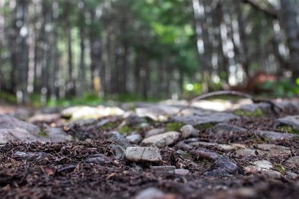
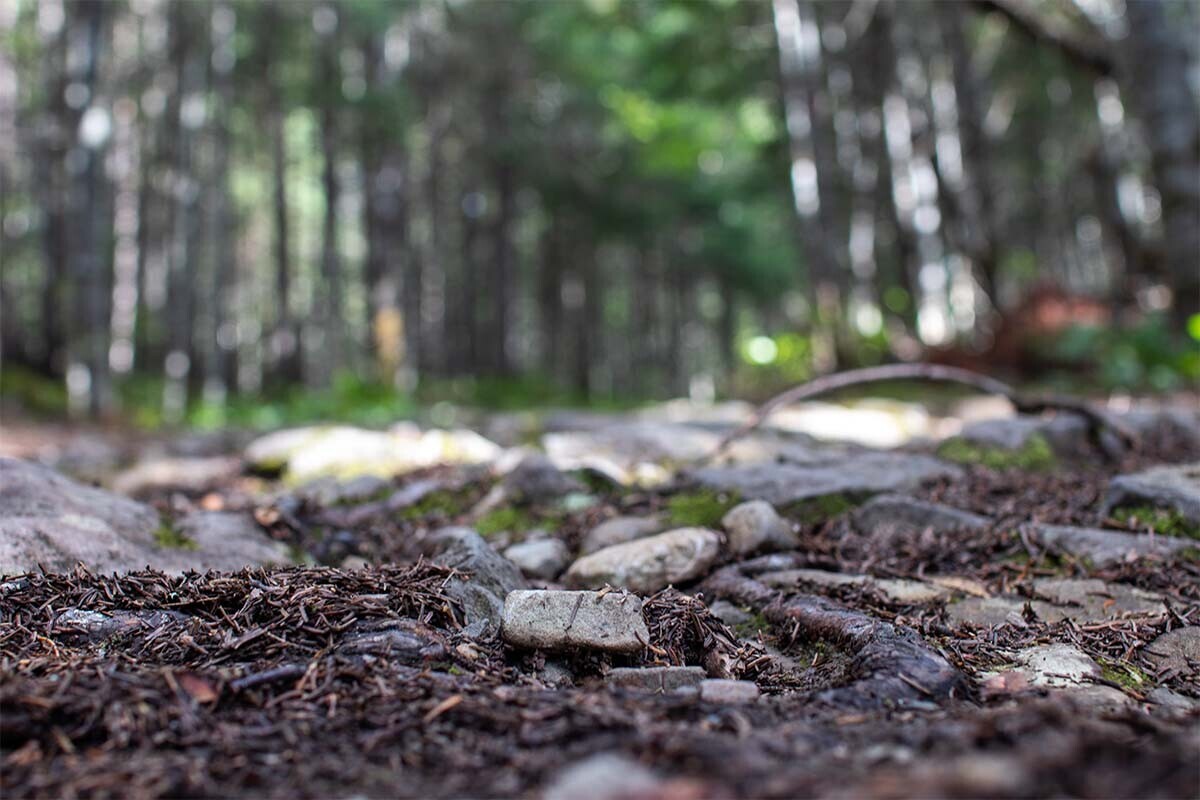
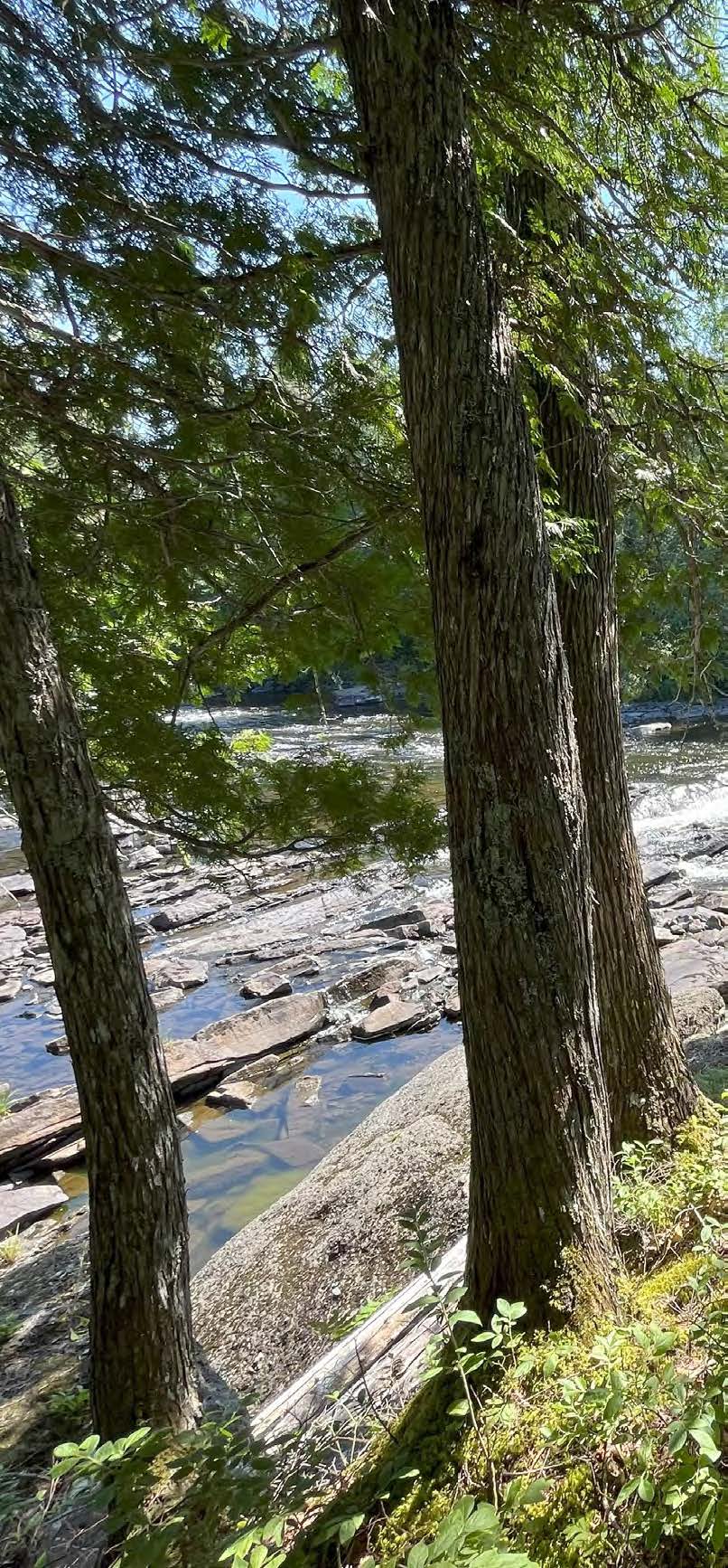
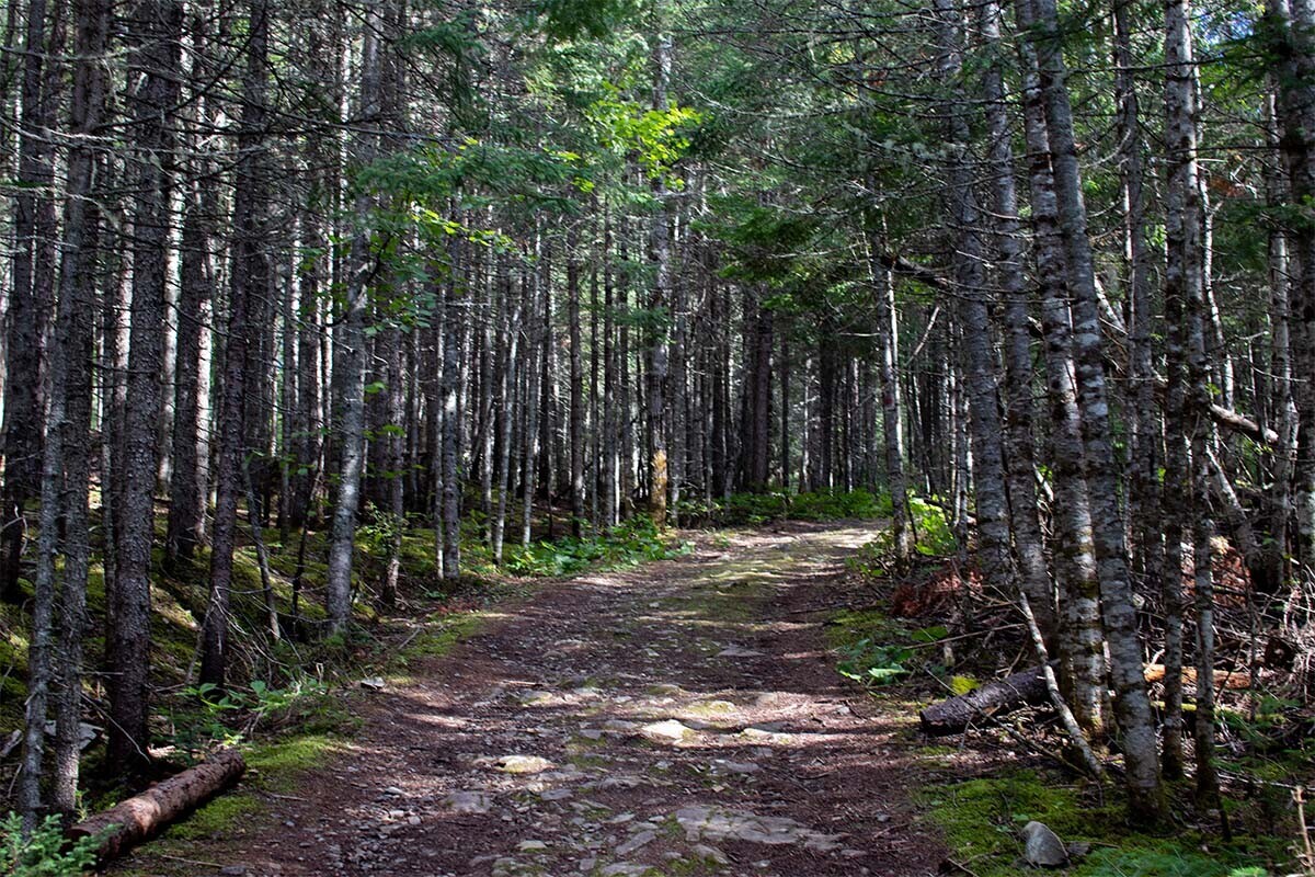
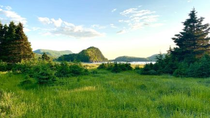
This trail runs through the territories of the Réserve faunique Duchénier and the Canyon des Portes-de-l’Enfer. The route begins at the Bistro du Grand Sault, at the foot of the waterfall of the same name, and follows the east bank of the Rimouski River to the lodging sector with yurts and ready-to-camp units. This easy hike offers several scenic viewpoints of the river, the old-growth forests along its banks, and the surrounding environment of the Rimouski River. The return is via the same trail.
See the Ruelland trail file
Read more