


My Favorites
Sentier national au Bas-Saint-Laurent
Trois-Pistoles à Dégelis, Trois-Pistoles, Québec G0L 4K0
About
Segment “Trois-Pistoles/Dégelis”
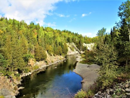
This 144 km route connects Trois-Pistoles to Dégelis and traverses the Lac-Témiscouata National Park. Hikers can explore numerous waterways via bridges. Historically, this path was used by Indigenous tribes. It is accessible for snowshoeing and features seven rustic shelters that can accommodate up to eight people by reservation. Additional lodging options are available along the route. Access is free, except in the national park where fees apply. Pets on a leash are welcome outside the park.
Segment “Le Chemin du Roy”
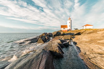
Spanning 31 km, this segment follows the Green Route through Trois-Pistoles, Notre-Dame-des-Neiges, and Saint-Simon. It starts near the Trois-Pistoles marina and ends at the intersection of Chemin Porc-Pic and Route 132 in Saint-Simon, offering stunning views of the river.
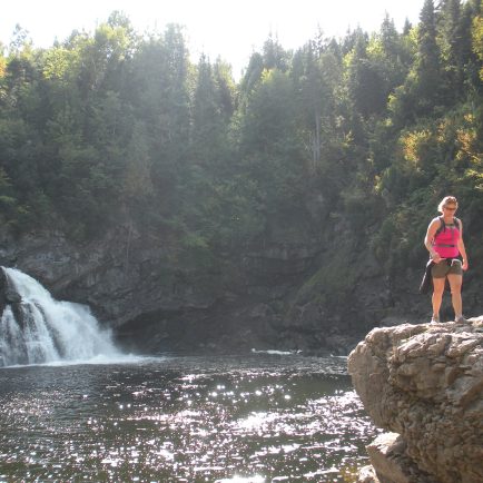
Segment “Chute-Neigette/Mont-Comi”
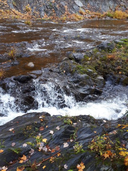
This nearly 15 km segment, of intermediate to advanced level, follows the valley of the Neigette River. It begins at Chute Neigette, which rises over 100 feet, and ends at Parc du Mont-Comi in Saint-Donat. Notable points of interest include panoramic views, a covered bridge, and the well-preserved remains of a lime kiln.
To reach Chute Neigette, follow Route du Fourneau-à-chaux from Saint-Anaclet. For Parc du Mont-Comi, take Route 298 south from Saint-Donat and follow the signs to the ski area.
Services
- Entry - Free
Access
Gratuit


